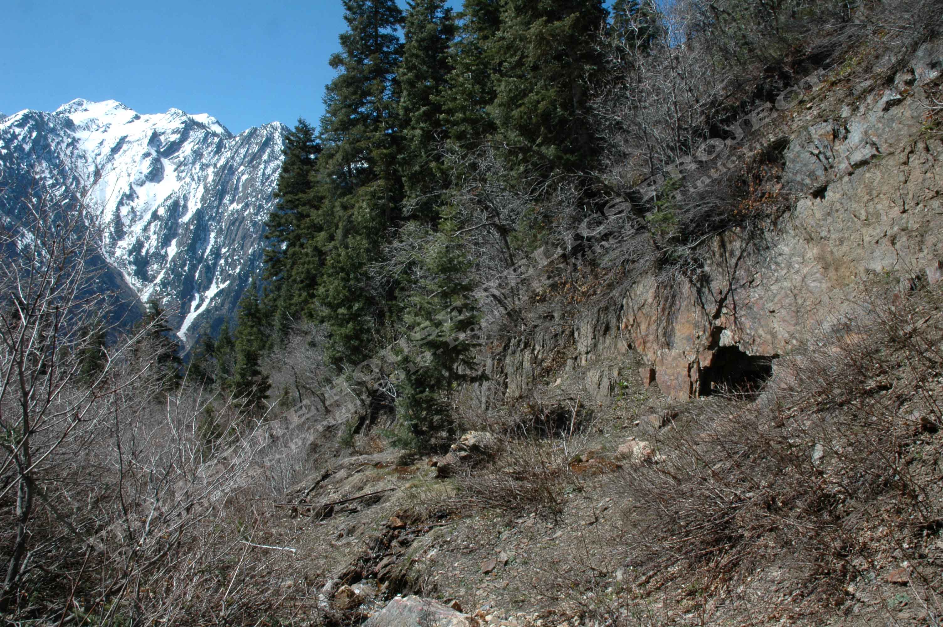
Partly caved adit of the Mule Hollow #2 mine with Storm Mountain in
the distance to the south c.2013
Donald K. Winegar - Tintic Images
Location data
QUICK LOCATION PATH: Utah / Salt
Lake County / Big Cottonwood District / Big Cottonwood Canyon / Mule Hollow
|
Approximate GPS Location:
|
40.38.380 N - 111.45.088 W (field) |
|
|
Approximate Elevation:
|
7155' (field)
|
|
|
30 x 60 Minute Map:
|
SALT LAKE CITY, UTAH
|
|
|
7.5 Minute Map:
|
SUGAR HOUSE, UTAH
|
|
What remains
No structures remain standing. Mine rail protrudes from the partly caved entrance and water also issues from
the adit. Ther are no structures at the site, but there are bits and pieces of rusty metal and broken glass about the dase
of the small dump.
View
looking north up Mule Hollow from the trail above the Mule Hollow Mine #! and just below the dump of Mule Hollow Mine #2 c.2013
Donald K. Winegar
- Tintic Images
Lengths of mine rail and scattered metal at the dump of the #2 mine c.2013
Donald K. Winegar
- Tintic Images
_____________________