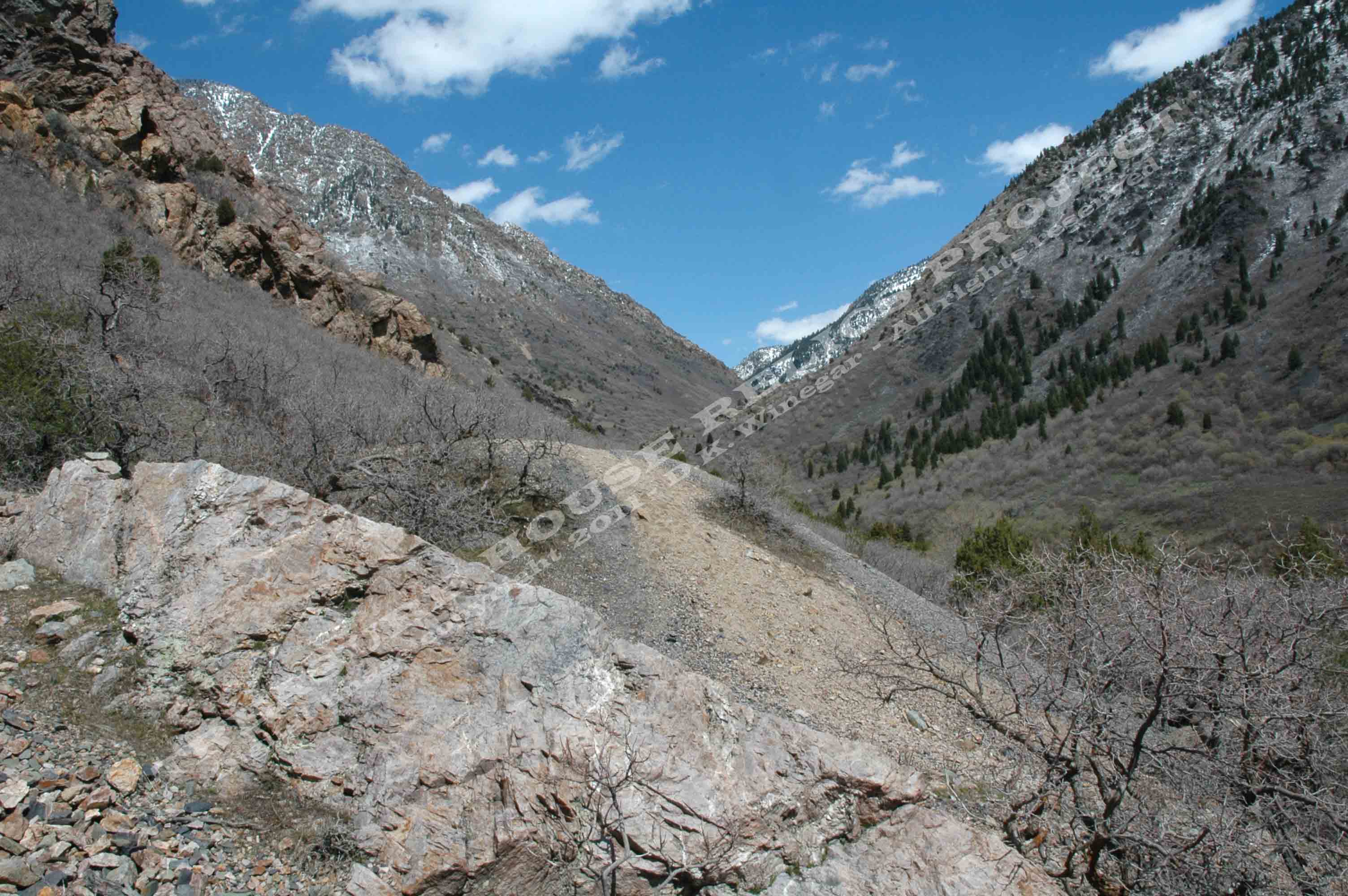
View of the Tavaci #1 Mine dump looking east up Big Cottonwood Canyon -
c.2011 / Donald K. Winegar - Tintic Images
Brief history
To be honest, this is one site I have not had a lot
of luck in finding out its history. Not even the real name. While I try to be as accurate as possible in my information, in
this instance, there just isn't any. I have name these two mines after the nearby Tavaci development.
Someday I will find out the actual name of these two sites, but until then,
Tavaci will have to do. (If you have any information on this
site or know the real name, please e-mail me and let me know. I would be happy to update the page and fully credit you by
name.)
Getting there
The Tavaci #1 mine is right along the main trail to the lower section
of the Granite Flume trail. The #2 mine is off the main trail, down a faint dirt road that splits off to the left as you are
hiking past the #1 dump. (See map)
Red line on the image above shows the lower portion of the Granite
Flume trail and the penstock pipe path at the left. Also shown are the trailhead and Tavaci mine locations. Map
created using Google Earth - Copyright 2011 THRP & Google - Click on image
for a larger view.
What remains
Nothing except the two mine dumps and the great views.
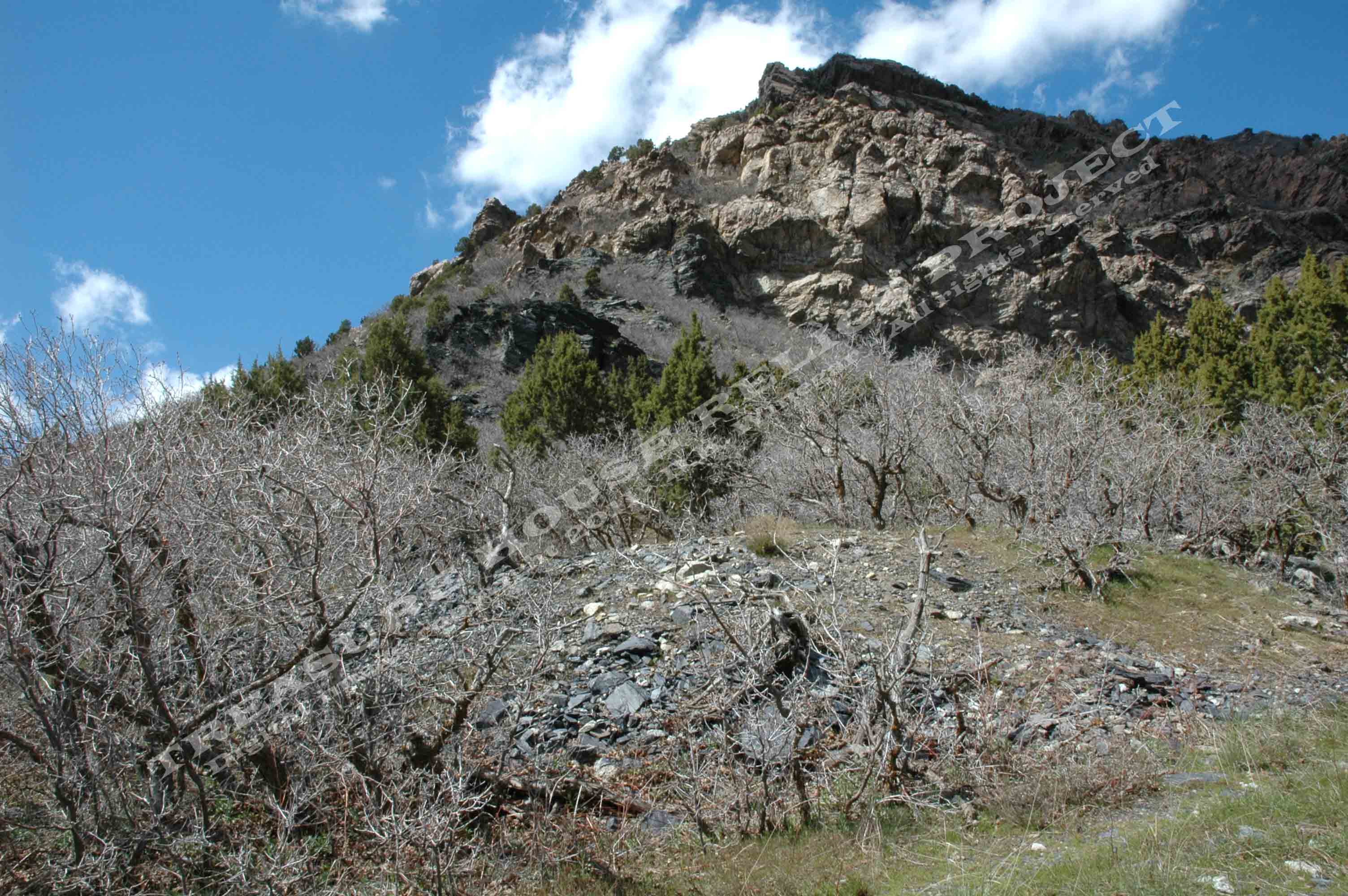
The Tavaci #2 mine dump (As I have named it) looking up toward the
Aqua World Rock Climbing area. This dump is much smaller than the #1 dump, and far more overgrown. This dump is less than
100 yards west of the #1 dump. - c.2011 / Donald K. Winegar - Tintic Images
_____________________