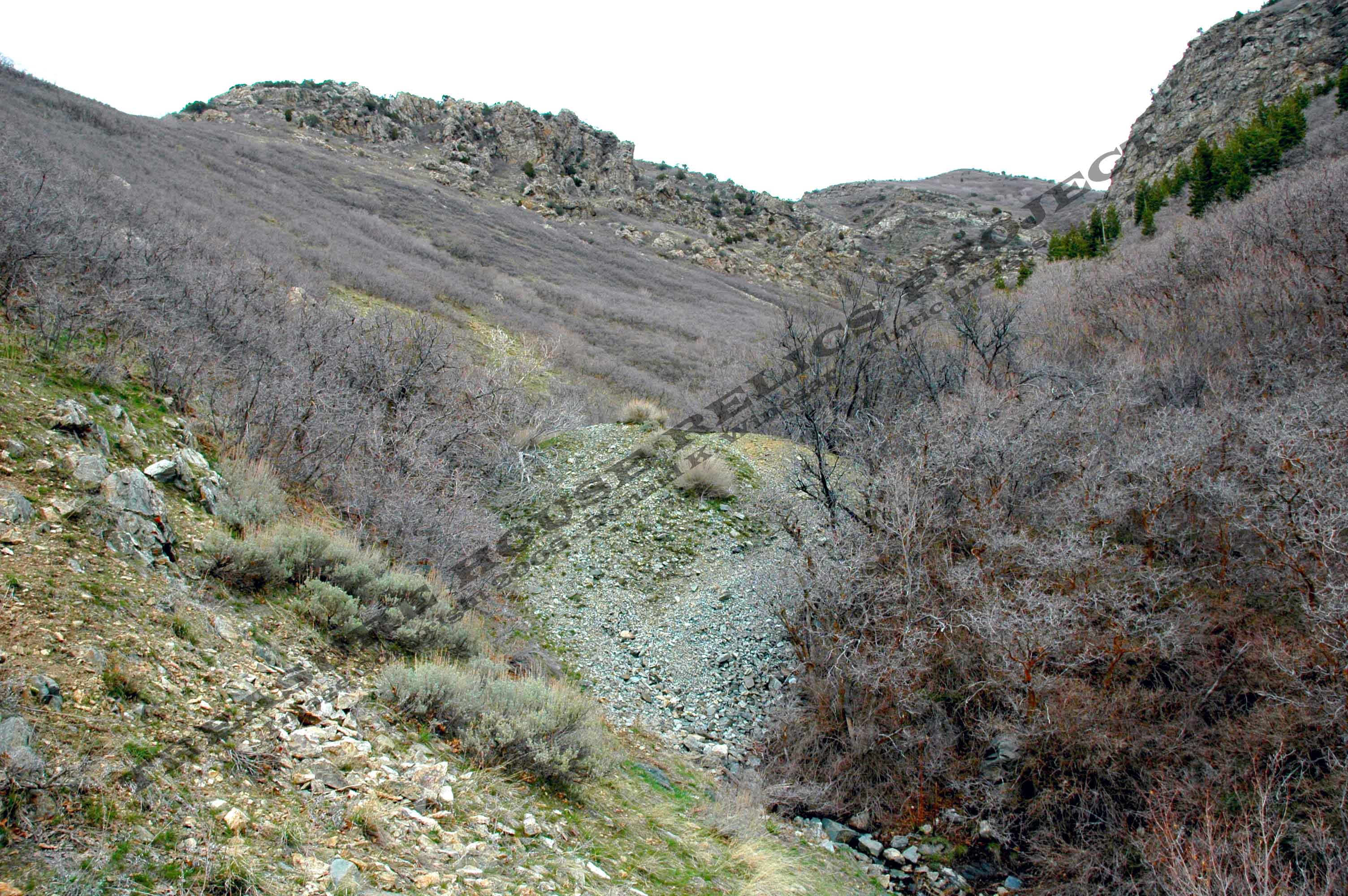
Dump of the middle Glenwood Tunnel workings from below looking up
the gulch c.2008
Donald K. Winegar - Tintic Images
Location data
QUICK LOCATION PATH: Utah / Salt
Lake County / Big Cottonwood District / Canyon Mouth - south side / Jefferson gulch / upper
|
Approximate GPS Location:
|
40.35.039 N - 111.46.745 W (field) |
|
|
Approximate Elevation:
|
6240' (field)
|
|
|
30 x 60 Minute Map:
|
SALT LAKE CITY, UTAH
|
|
|
7.5 Minute Map:
|
DRAPER, UTAH
|
|
Getting there
Just south of the Golden Hills subdivision and the stop light where Highland Drive separates from Little Cottonwood
Canyon Road a trail begins on the east side of the road about 50 yards south of the last house. The trail climbs immediately
from the road and the first hundred yards or so is a series of quick switchbacks. The trail to the Glenwood is also along
the trail to the Jefferson, New State, the Utah Glory Hole, and more.
After passing
the glory hole, the trail climbs steeply almost 1400 feet in a straight line right up the crest of the south face of Jefferson
Gulch. at the top of that steep run, the trail turns to the left and levels off quickly. It then curves to the northeast and
then turns north across the face of the gulch until it reaches the north face. The Glenwood sites are at the end of this flat
stretch of road.
What remains
No structures remain standing at this site. Only bits of metal, wood, and three separate dumps, all with caved
portals mark the site.
_____________________