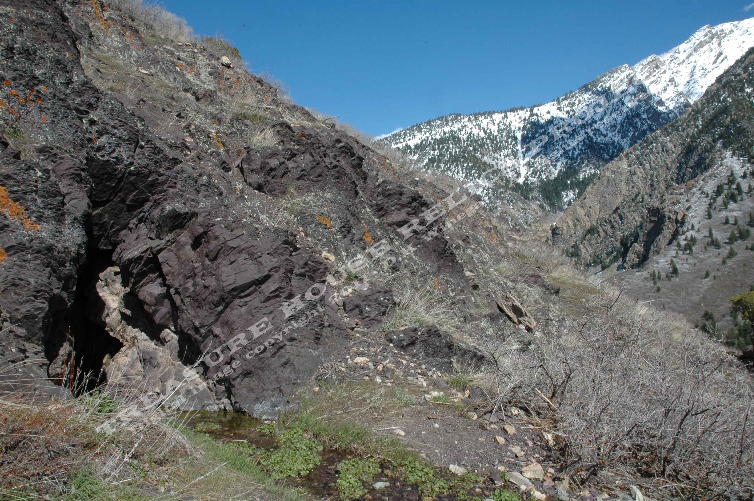
View of the Purple Shale #2 mine portal and the canyon beyond. - c.2011
/ Donald K. Winegar - Tintic Images
Brief history
This is another site in the upper Granite Flume Trail
area that has no history, at least none that I have found so far. What is known is this: there are three very shallow prospect
adits, grouped very tightly above and to the east the rock wall above the upper Granite Flume Trail. The #1 adit is partially
closed by natural erosion, the #2 adit is open, and both are partly filled with water. I have not yet visited the #3 adit,
as the weather closed in and it was time to get off the mountain.
Like the Tavaci and Ledgemere Mines neaby, I do not have, nor do I know the real name of this site. While I try
to be as accurate as possible in my information, in this instance, there just isn't any.
For purposes of this website, I have used the name given to this group of mines by Martin
McGregor, a fellow canyon explorer and avid hiker. He tells me it is named in honor of a purple colored bottle fragment found
near the portal of the #2 dump when he first visited the site.
(If you have any information on this site or know the real name, please
e-mail me and let me know. I would be happy to update the page and fully credit you by name.)
Getting there
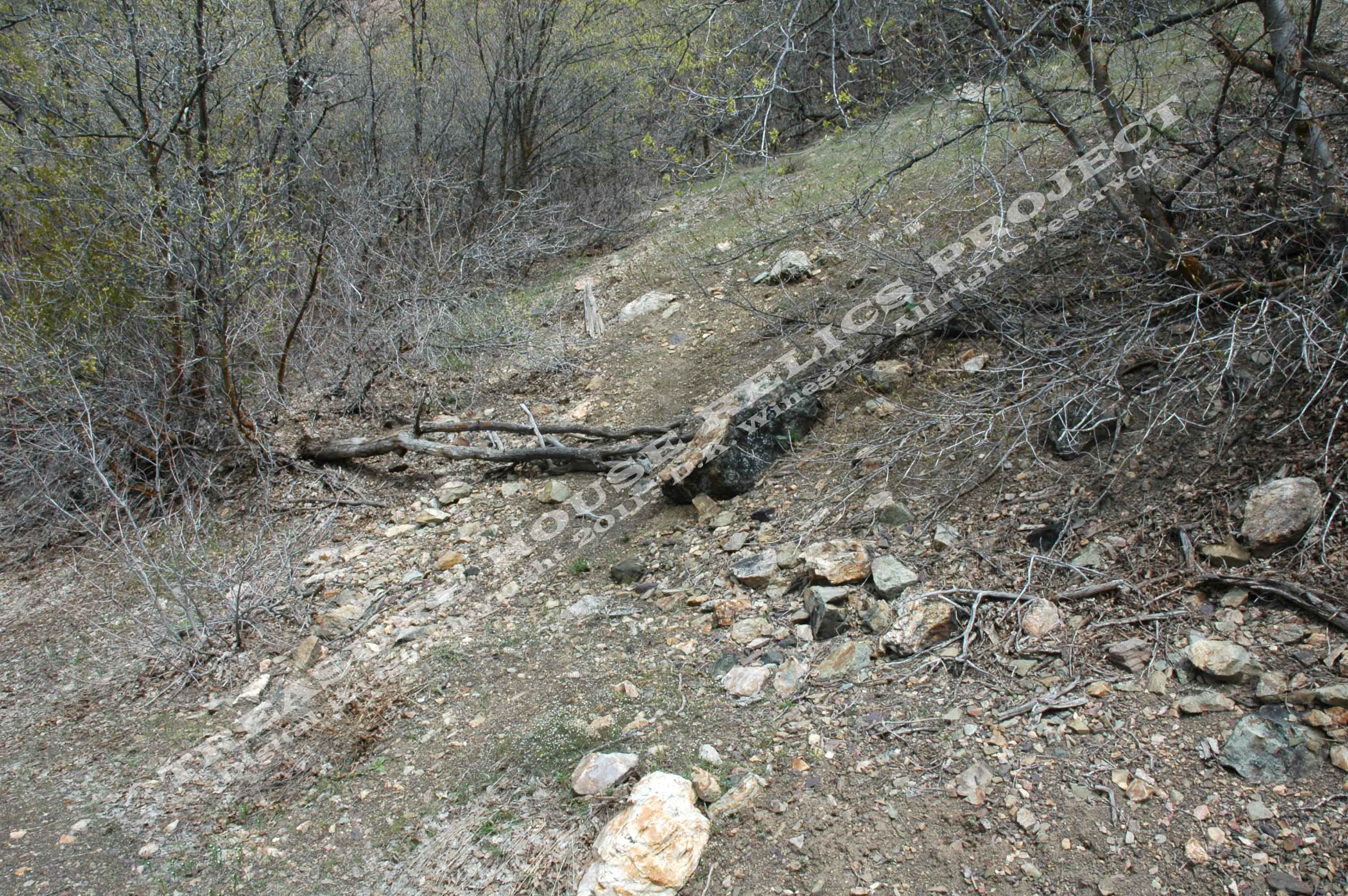
Purple Shale mines trailhead as pictured from the Granite Flume Trail.
- c.2011 / Donald K. Winegar - Tintic Images
The Purple Shale mines are located above the old flume pathway to
the right and above the large rock wall that looms over much of the Granite Flume trail. The trail to the mines is steep and
switchbacks up the side of the mountain. As you pass above the rock ledge, the trail splits.
The more well traveled path crosses over to the right and up just a bit farther to the #1
adit site. From the #1 site, the trail continues down on a slight angle across the hillside to the #2 adit site.
The
lesser traveled path takes of to the left, up over another rock wall, and then back to the right passing through the trees
to the #3 adit. (See
map)
Red line on the image above shows the upper portion of the Granite
Flume trail. The trail to the Purple Shale mines zig-zags up the hillside and divides to the right and left. - Map created using Google Earth - Copyright 2011 THRP
& Google - Click on image for a larger view.
What remains
Nothing except the mine dumps, and open shallow adits.
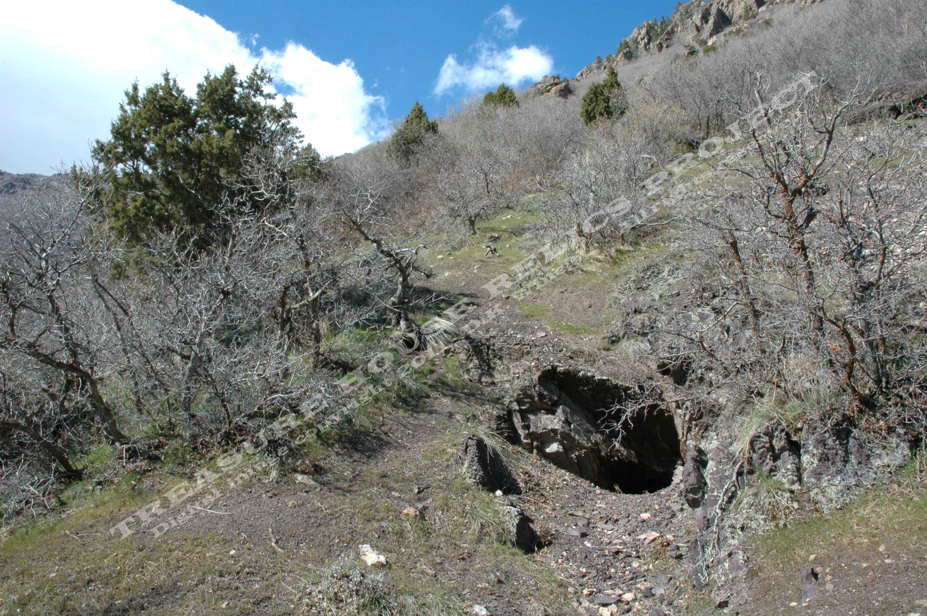
View of the Purple Shale #1 adit above the Granite Flume trail looking
northwest. - c.2011 / Donald K. Winegar - Tintic Images
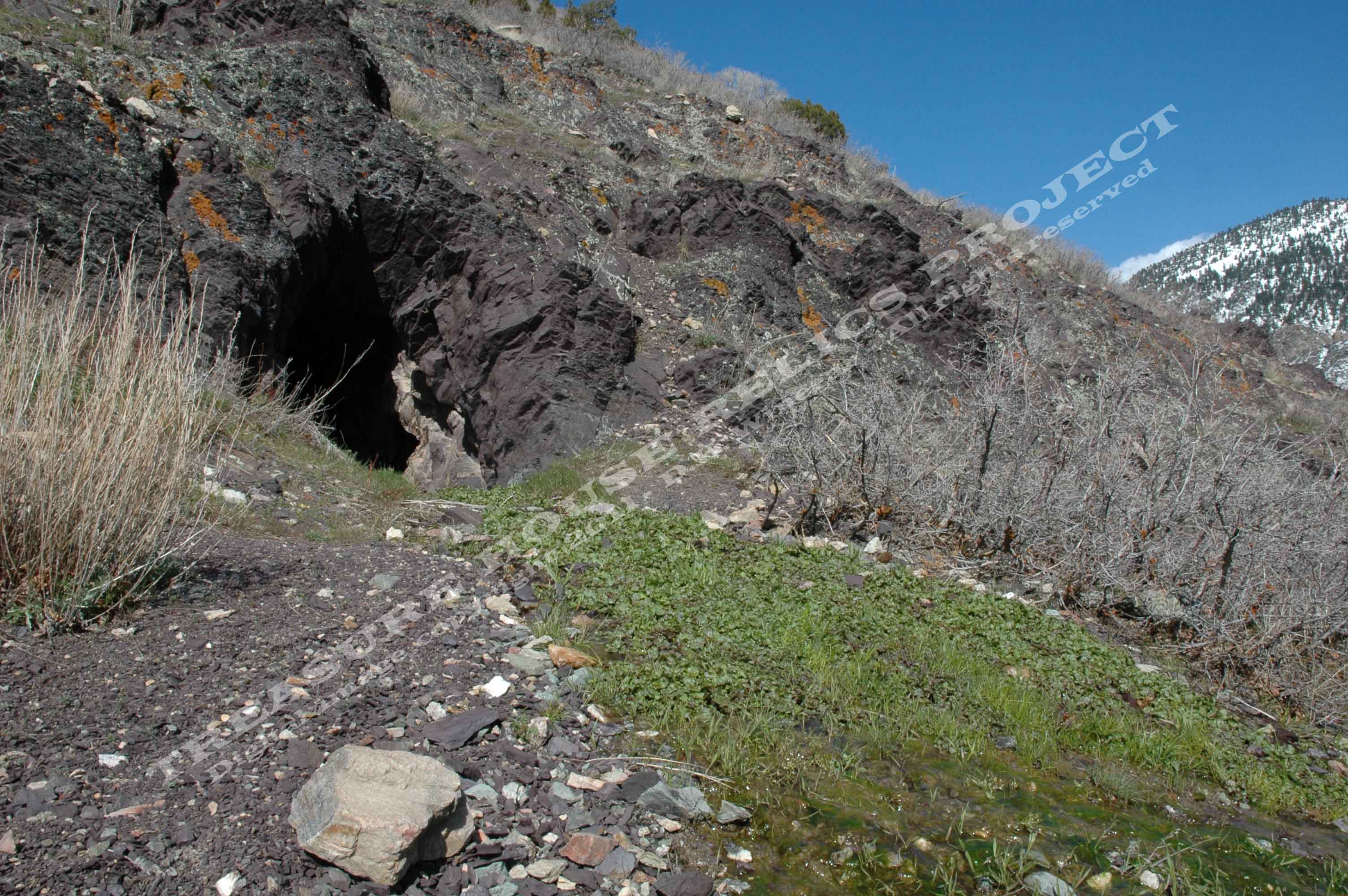
View of the Purple Shale #2 adit showing the great volume of water
issuing forth from this old mining prospect. The view is to the north east. - c.2011 / Donald
K. Winegar - Tintic Images
_____________________
