View of the Ledgemere Mine dump in the rock cut above the upper Granite
Flume Trail. - c.2011 / Donald K. Winegar - Tintic Images
Brief history
This is another site in the upper Granite Flume Trail
area that has no history, at least none that I have found so far.
Like the Tavaci and Purple Shale Mines neaby, I do not have, nor do I know the real name of this site. While
I try to be as accurate as possible in my information, in this instance, there just isn't any. For purposes of this website,
I have named this mine in honor of the Ledgemere picnic area in the canyon bottom below.
(If you have
any information on this site or know the real name, please e-mail me and let me know. I would be happy to update the page
and fully credit you by name.)
Getting there
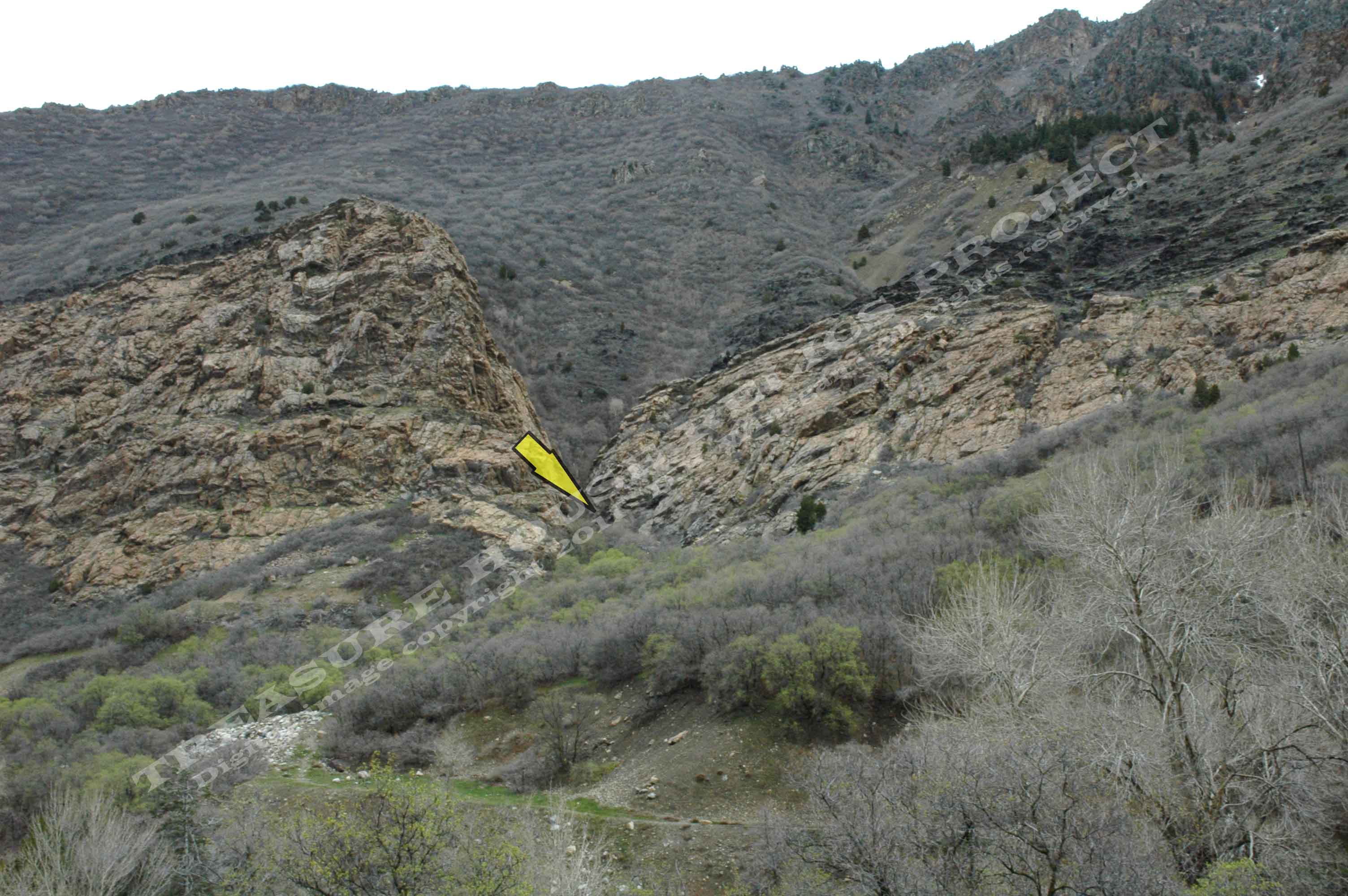
Yellow arrow shows the approximate location of the Ledgemere mine
in the narrow rock cut above the upper Granite Flumeway Trail. - c.2011 / Donald K. Winegar
- Tintic Images
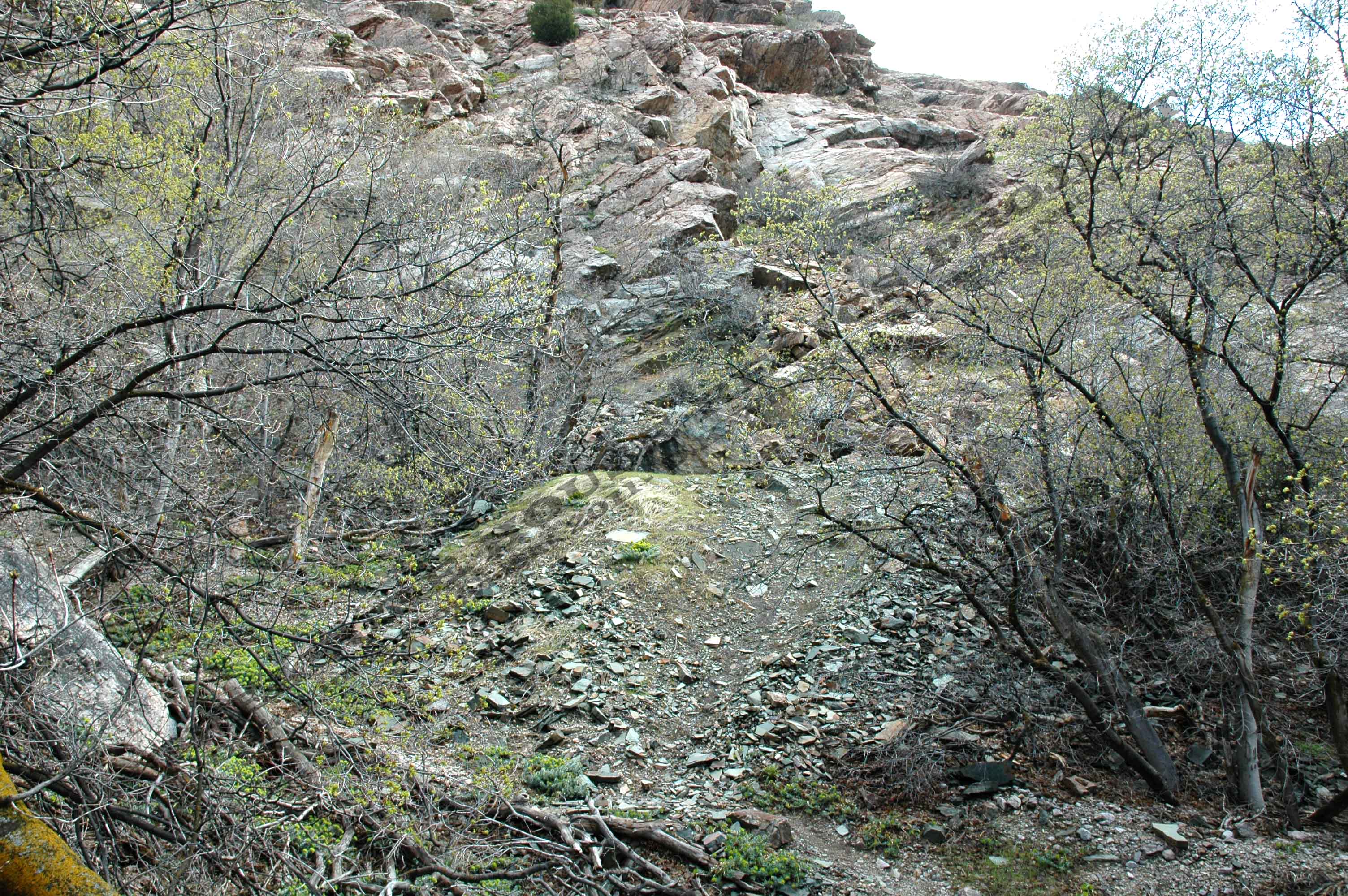
The Ledgemere mine is located above the old flume pathway near the
center of the upper trail. Once you reach the flumeway path by either the Ledgemere or Birches trailheads, head west to the
first cut where you can see small trestle remains. Just before the cut, a faint trail parts to the right and up the east side
of the rocky gulch.
It is not far to the mine site.
some thirty or forty yards is all. Yet, as close as it is, the dump is not visible from the flumeway trail. As you hike this
short distance up the gulch, the mine dump will appear on the right. (See map)
Red line on the image above shows the upper portion of the Granite
Flume trail and the short trail to the Ledgemere mine left center. Also shown is the trailhead to the Purple Shale mines.
Map created using Google Earth - Copyright 2011
THRP & Google - Click on image for a larger view.
What remains
Nothing except the mine dump and great views of the
canyon like the one below.
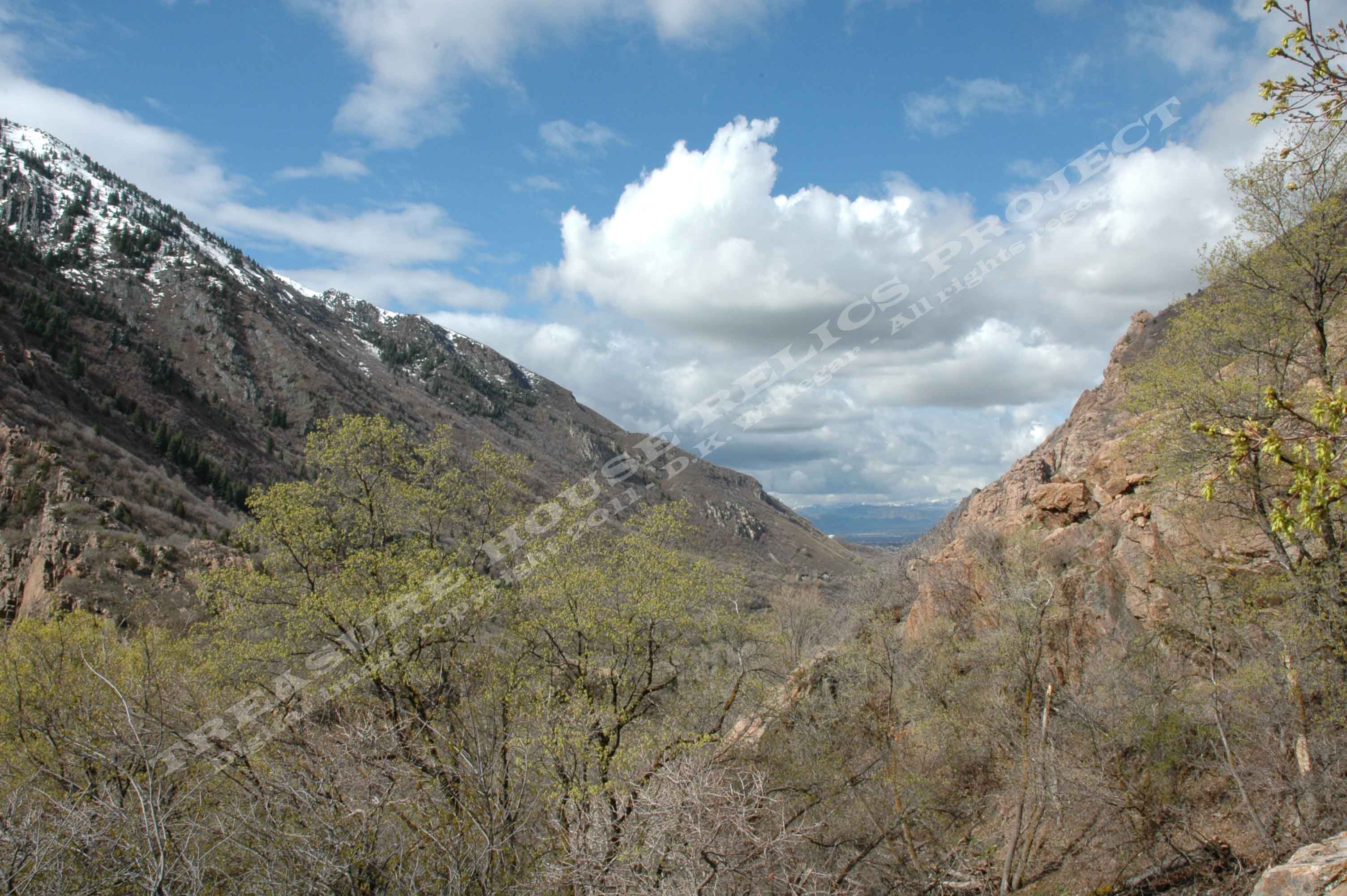
View of lower Big Cottonwood Canyon from the dump of the Ledgemere
mine site. - c.2011 / Donald K. Winegar - Tintic Images
_____________________
