| UTAH MAMMOTH MINE (1) - DEAF SMITH CANYON c.2008 |

|
View
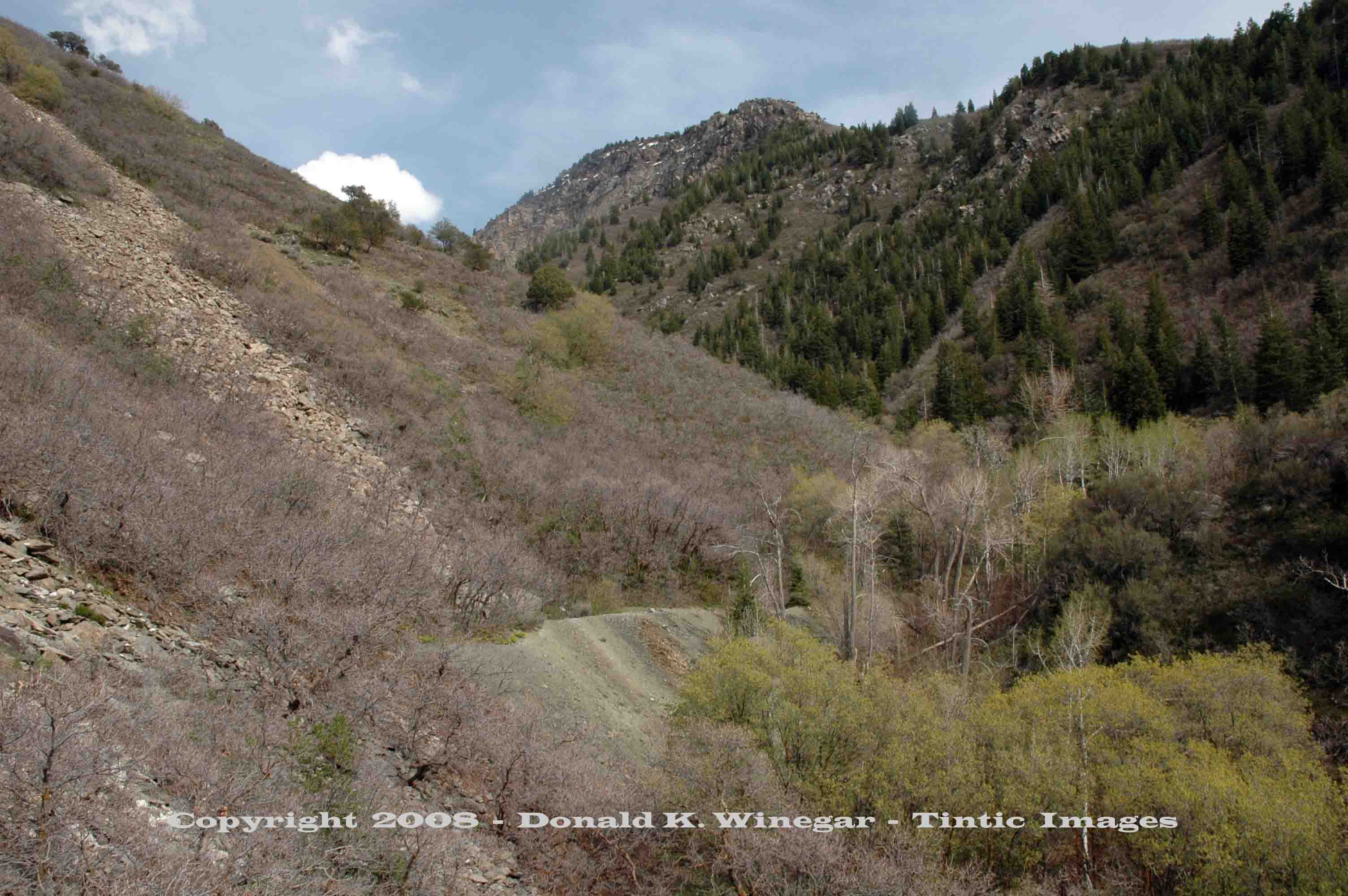
(looking SE) of the Utah Mammoth dump and upper Gold Willow Canyon. c.2008
Location data
QUICK LOCATION PATH: Utah / Salt
Lake County / Big Cottonwood District / Deaf Smith Canyon / South Fork
|
Approximate GPS Location:
|
40.35.414 N - 111.47.001 W (field) |
|
|
Approximate Elevation:
|
5754' (field)
|
|
|
30 x 60 Minute Map:
|
SALT LAKE CITY, UTAH
|
|
|
7.5 Minute Map:
|
DRAPER, UTAH
|
|
Brief history
The Utah mammoth property was originally located in 1922.
The property was worked off and on from then until 1928 when it was deeded to the Utah Copper Queen Mining Company. According
to James, the dump suggests 600 to 1000 feet of underground workings. Little is know of total production values though it
was reported in 1931 that $8.00 per ton ore was being followed at that time.
The mine was lightly equipped; a few ore cars, small bunk house, and compressor shed fitted with a small compressor,
able to power just 3 drills.
Getting there
The Utah Mammoth property is located just 1/10th of a mile farther up the south fork of Deaf Smith Canyon from
the Gold Willow #2 site. It is reached by following the same lightly overgrown trail that once was the road to the mine.
Note: Always use caution when exploring old mining
sites, hazards may be found and must be watched for!
| UTAH MAMMOTH (1) - DEAF SMITH CANYON c.2008 |

|
|
| UTAH MAMMOTH MINE (1) - DEAF SMITH CANYON c.2008 |

|
|
| UTAH MAMMOTH (1) - DEAF SMITH CANYON c.2008 |

|
|
What remains
No structures remain at this site. Only the
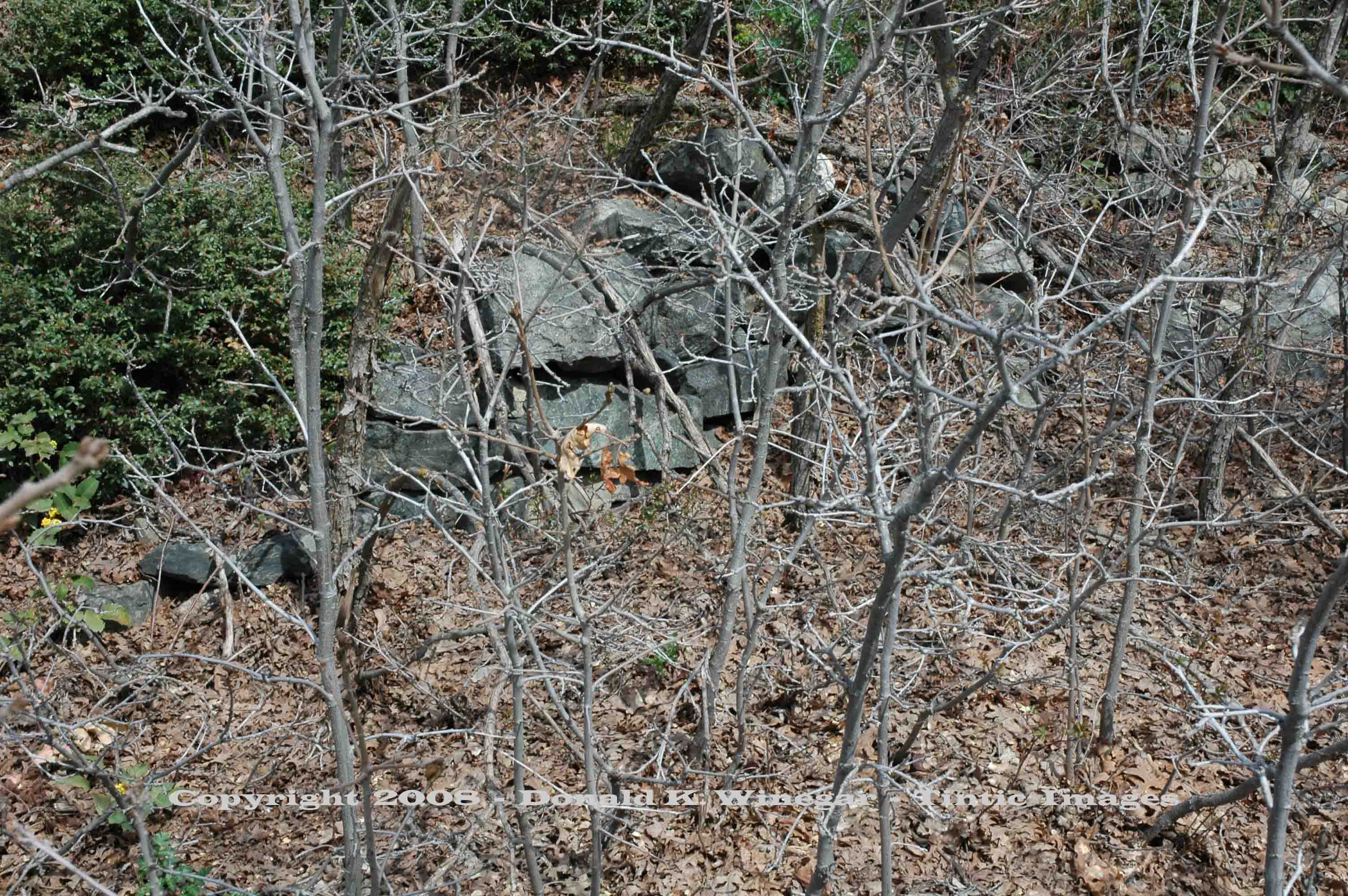
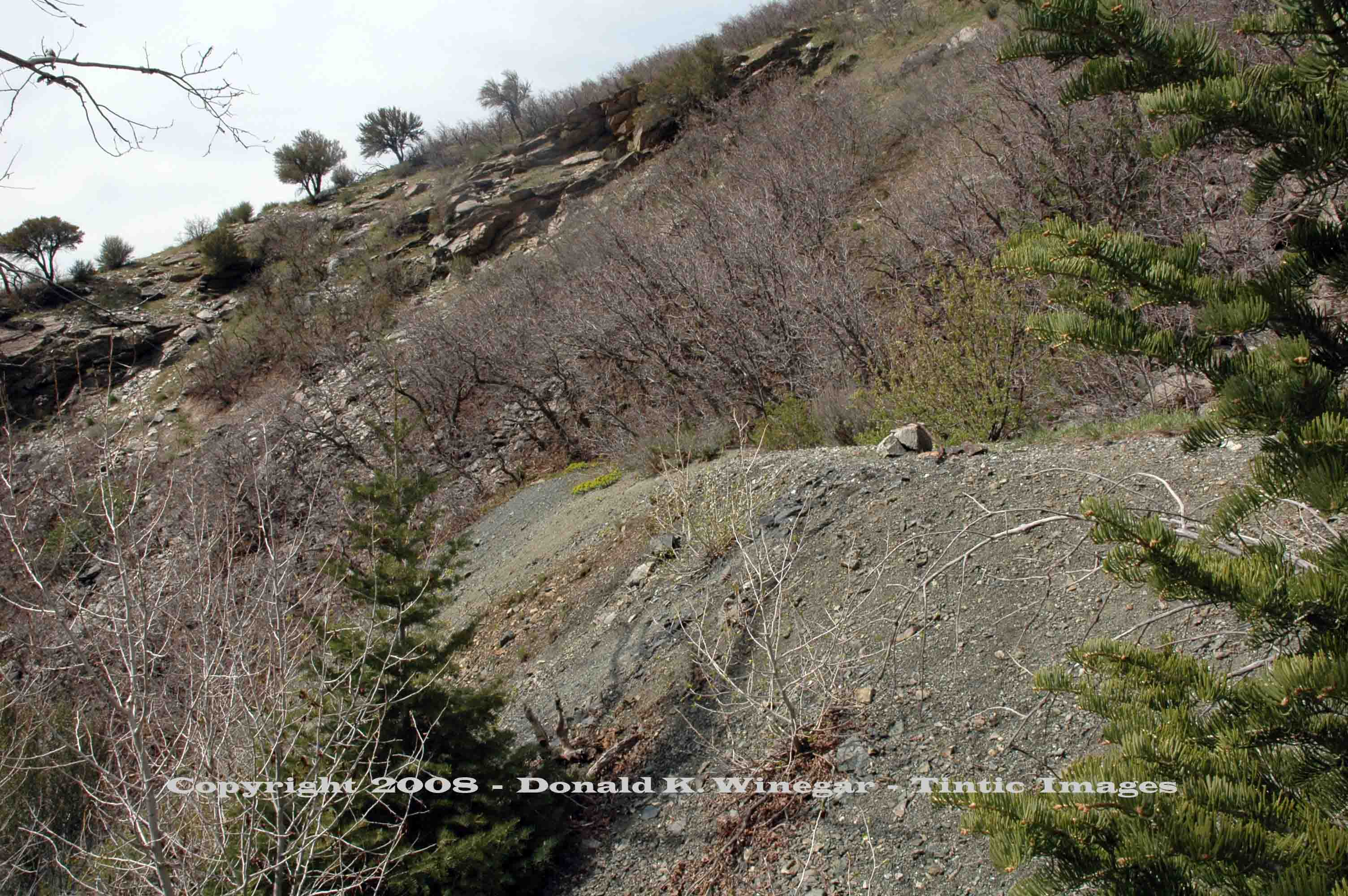
dump shown in the upper view, a stone foundation and a stone retaining wall on either side of the caved portal remain. As
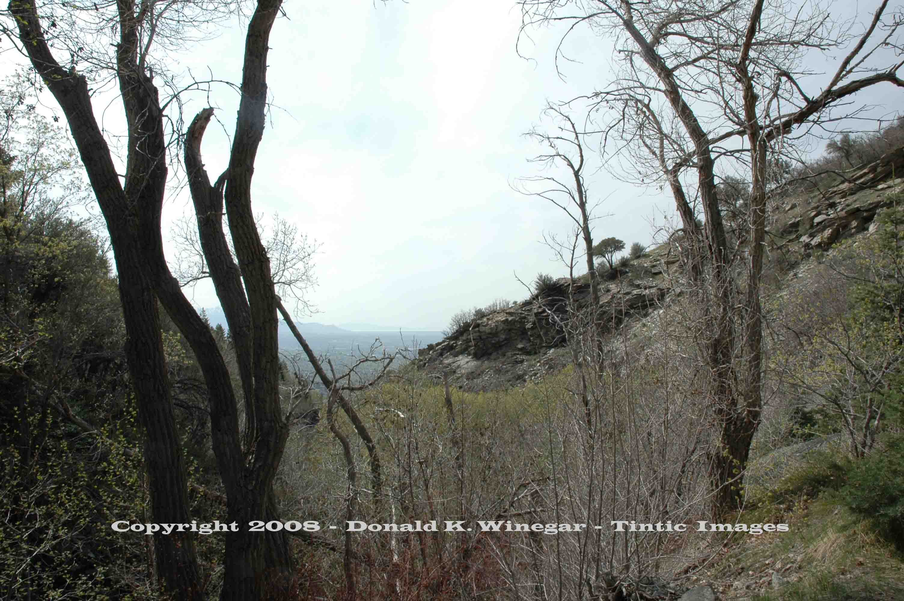
shown in the views above, the portal is heavily overgrown. Small bits of rusted metal and cans can be found about the area.
Even the rails and ties once atop the length of the dump are gone as well.
References:
Geology, Ore Deposits and History of the Big Cottonwood Mining District,
Salt Lake County, Utah (1979) UGMS Bulliten 114, Lawrence P. James.
_____________________